Looking to explore the Catamount Trail?
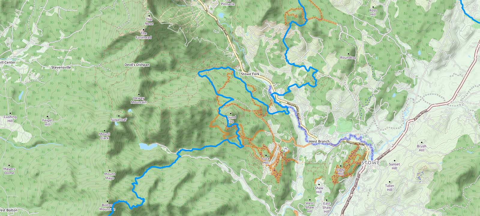
When planning your next adventure there are a number of resources available. You can use our Interactive Online Map, review the Individual Section Descriptions & Maps, sit down in front of the wood stove with one of our Printed Trail Maps, or view the trail in your own navigation app of choice using these GPX & KML files.
If out in the woods, keeping track of where you are can be a little more challenging. Please remember to equip yourself with the proper experience and tools to stay safe in the backcountry.
Please note: The Interactive Online Map and GPX/KML files were last updated in 2021, so some reroutes will not be available. For the most up to date resources, please review the Individual Section Descriptions and Maps, which also include the best options for parking and shuttles – updated in 2025.
Looking for opportunities to get out on the trail with a guide before adventuring on your own? There are many opportunities to hit the trail and backcountry zones with our CTA and Chapter volunteer tour leaders. Check out our Single-Day and Multi-Day guided tours HERE.
Navigation Resources
View & Download Catamount Trail GeoPDF Maps
")